NEW YORK (WABC) — It’s been a long time since New York City has had a white Christmas.
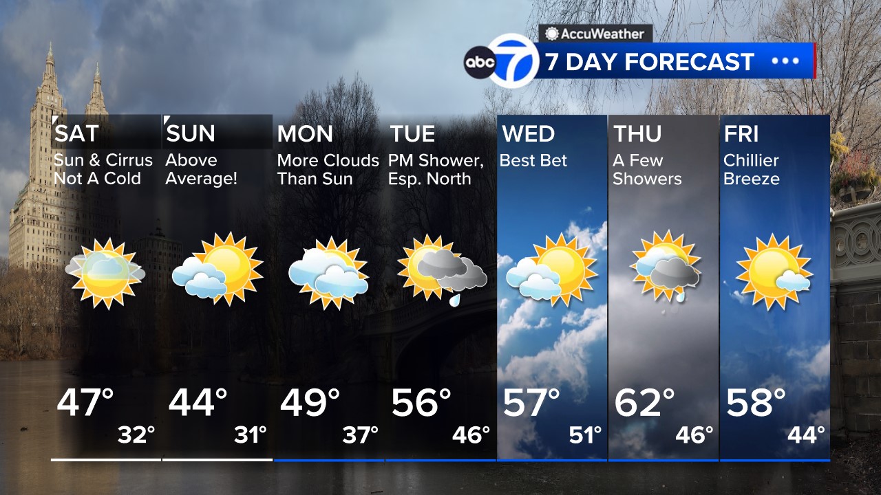
Like most Americans dreaming of a white Christmas, there’s no chance of one in the city this year.
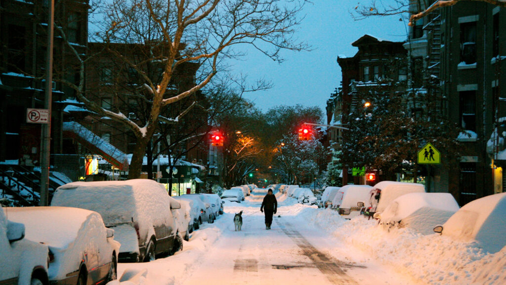
The National Weather Service says Central Park has not had snow on the ground on Christmas since 2009 when a storm blanketed the region with several inches a few days before the holiday.

A woman and dog walk up a plowed street in the borough of Brooklyn after the first major winter storm of the season on Sunday, Dec. 20, 2009 i
AP Photo/Peter Morgan
2002 is the last time any snowflakes fell in New York City on Christmas Day.
And those Christmas Days with more than 3 inches of snow on the ground have not happened since the 1960s.
Between 1959 and 1966, four Christmas Days had more than 3 inches of snow on the ground, one had 1-3 inches, and one had snow fall on the holiday.
One of the worst storms ever in New York City happened on the day after Christmas. The Great Blizzard of 1947 took the city by surprise and dumped more than 2 feet of snow in 24 hours.

A pedestrian walks between drifts of snow in Times Square in New York City, Dec. 27, 1947
AP Photo
Another big snowstorm happened on the day after Christmas in 2010, crippling New York City and much of the Northeast.
The city received more than 30 inches of snow over two days.
Climate change is playing a role in diminishing Christmas snow, although experts note it remains a complicated picture, with extreme cold snaps and unusual weather events occurring.
“Certainly, the globe is warming. Winters are getting shorter. Overall, they’re getting warmer,” Judah Cohen, the director of seasonal forecasting at Verisk Atmospheric and Environmental Research, said. “December, I’ve seen the strongest warming. So I feel like December really no longer qualifies as a winter month. The early-season skiing is becoming more and more challenging.”
There is a better chance for a white Christmas this year compared to 2023, according to AccuWeather Senior Meteorologist Paul Pastelok, but many areas may end up more green than white due to a lack of snow.
Where will there be a white Christmas in 2024?
A white Christmas is a guarantee across the higher elevations of the Rocky Mountains, the part of the country that has a snowy holiday almost every year. It is also looking promising in a few areas of the East.
Things look good for the few towns and cities around the Great Lakes that have been buried in feet of lake-effect snow this month, including Erie, Pennsylvania, which has had its snowiest start to winter on record.
Some snow has fallen elsewhere across the interior Northeast and the Appalachians over the past week, but the big question will be whether it will be cold enough for the snow to remain on the ground until Dec. 25.
A white Christmas is defined as having 1 inch or more of snow on the ground Christmas morning, according to the National Weather Service.
Some information from the Associated Press and AccuWeather
MORE ACCUWEATHER RESOURCES
Check AccuTrack Radar
Air Quality Tracker
NWS Advisories, Watches and Warnings
School closings and delays
For weather updates wherever you go, please download the AccuWeather app.
Follow meteorologist Lee Goldberg, Sam Champion, Brittany Bell, Jeff Smith, and Dani Beckstrom on social media.

Copyright © 2024 WABC-TV. All Rights Reserved.

